|
 |
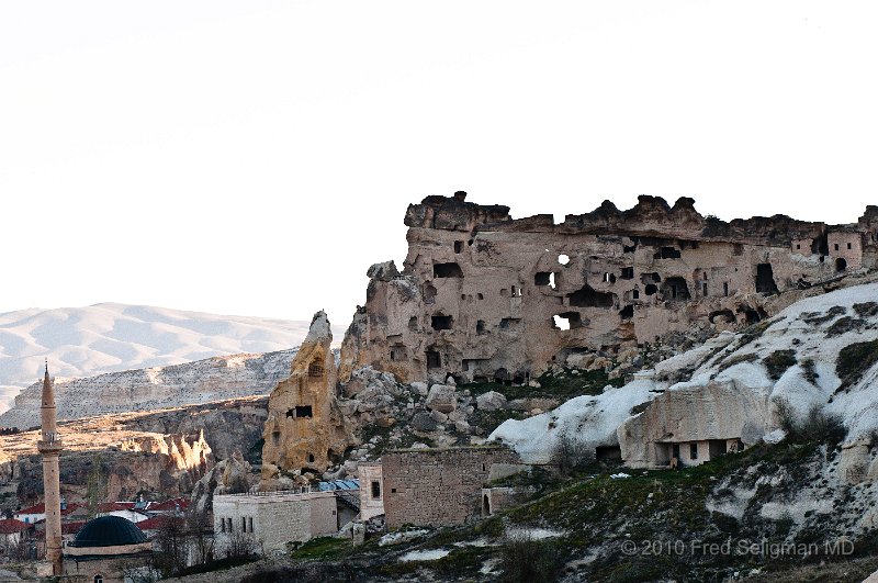
| 52 | Caves, Cavusin. Structures such as these may have had as many as 8 levels of coordinated functioning when people lived in them. Caves continued into the ground connected by man made connections |
| Photographer: Fred Seligman MD | Camera: NIKON D300 | Date: 4/5/10 7:09 AM | ISO: 400 | Exp. Time: 1/250s | Aperture: 8.0 | Focal Length: 70.0mm (~106.6mm) | Flash: No | Latitude: N 38°39'51.47" | Longitude: E 34°50'29.67" | Altitude: 1062 metres | GPS time: 4:8:48 UTC | Copyright: © 2010 Fred Seligman MD | See map |
| Total images: 260 | Last update: 7/26/10 12:05 PM | HomePage | Fred Seligman's website | Help |